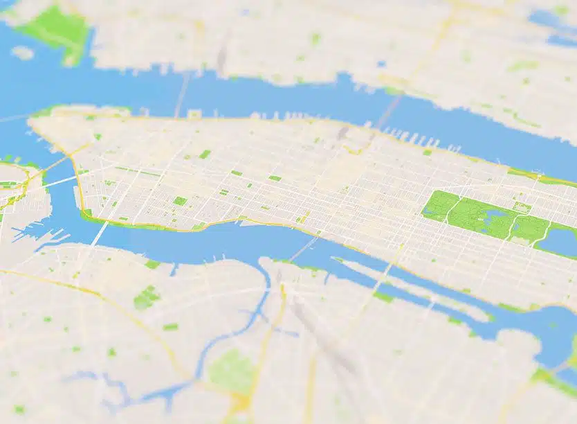
In digital forensics, an image of a map or satellite photos may identify a location of interest to an investigation. Whether it's an urgent requirement to find a location of criminal activity or to determine vital location information that may hold evidence critical to an investigation, digital forensic investigators need this key tool to detect images of maps and satellite photos quickly.